Falken Avionics EFB Public Beta
Join on TestFlight

Fly the
Falken EFB beta.

A full electronic flight bag on your iPad or iPhone — now open for test pilots.

Sectionals, IFR enroute charts, approach plates, weather, traffic, terrain, and synthetic vision — the tools you actually use in the cockpit, priced for pilots who fly because they love it. Works offline and pairs with Falken's FlightBox for subscription-free ADS-B weather and traffic in flight.

Join the Beta on TestFlight
QR code linking to the TestFlight invitation Reading on a computer? Scan with your iPad or iPhone.

Requires an iPhone or iPad running iOS/iPadOS 18.5 or later. The beta is free — TestFlight builds never charge for in-app subscriptions.
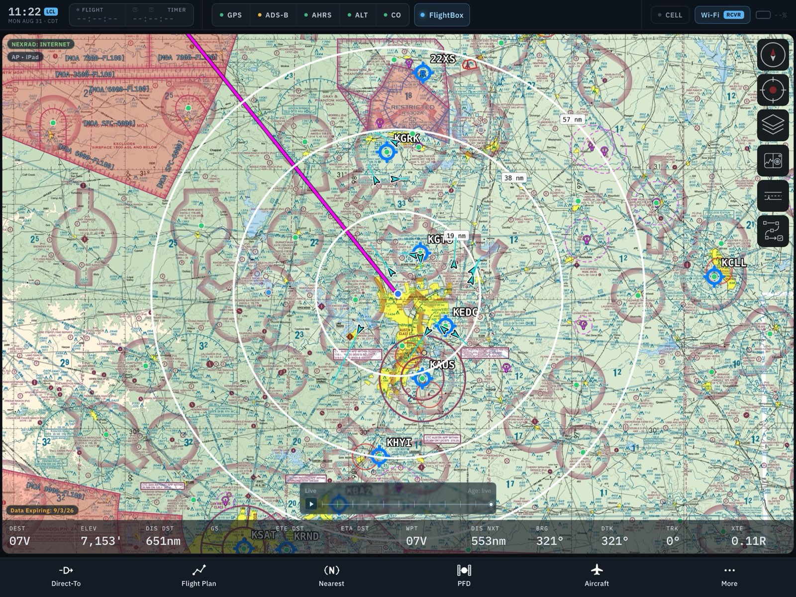
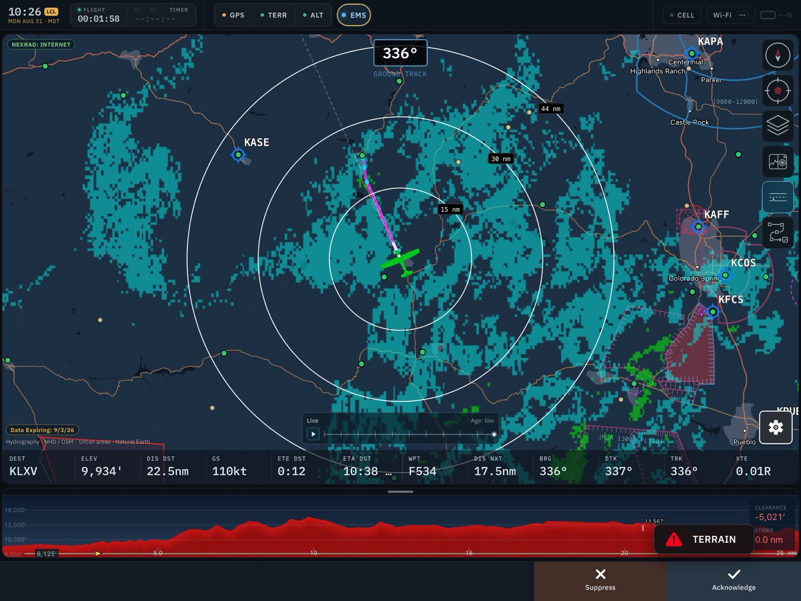
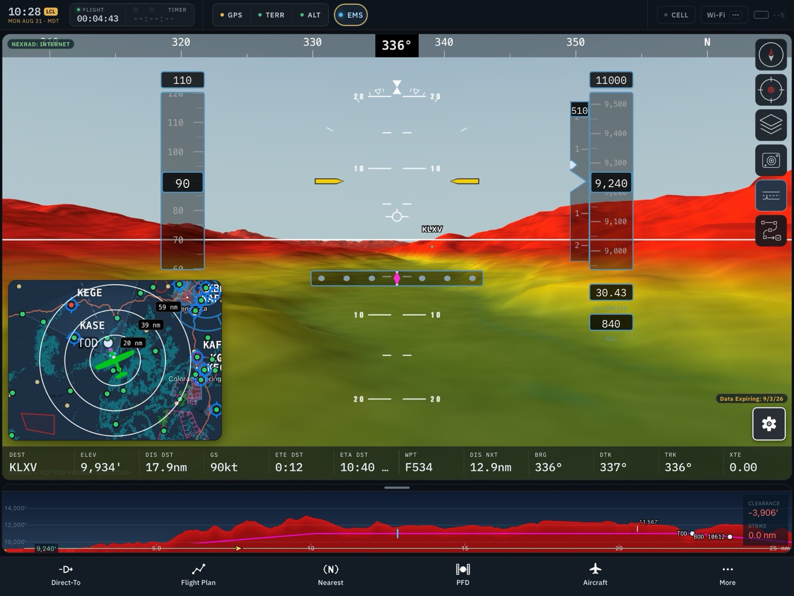
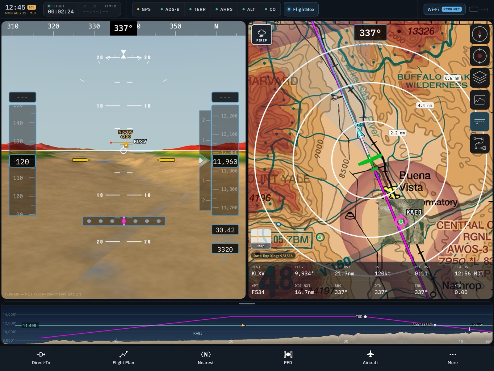
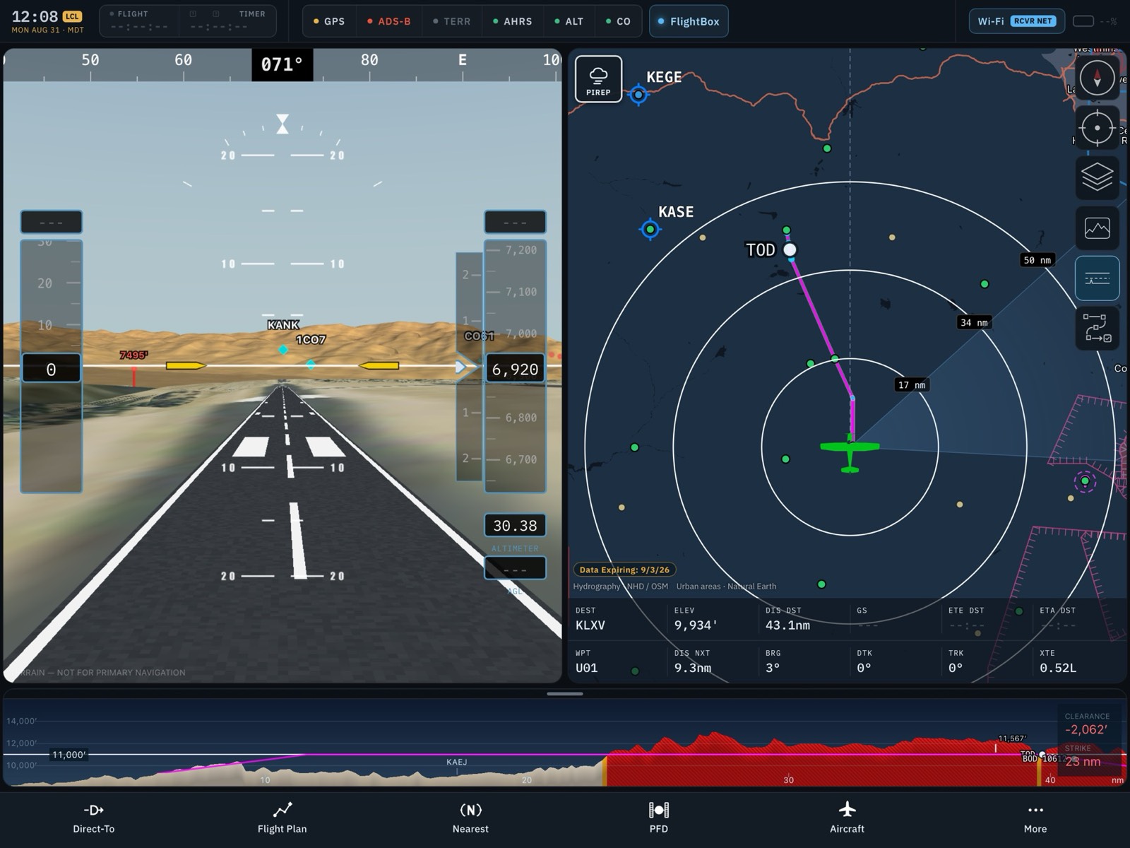
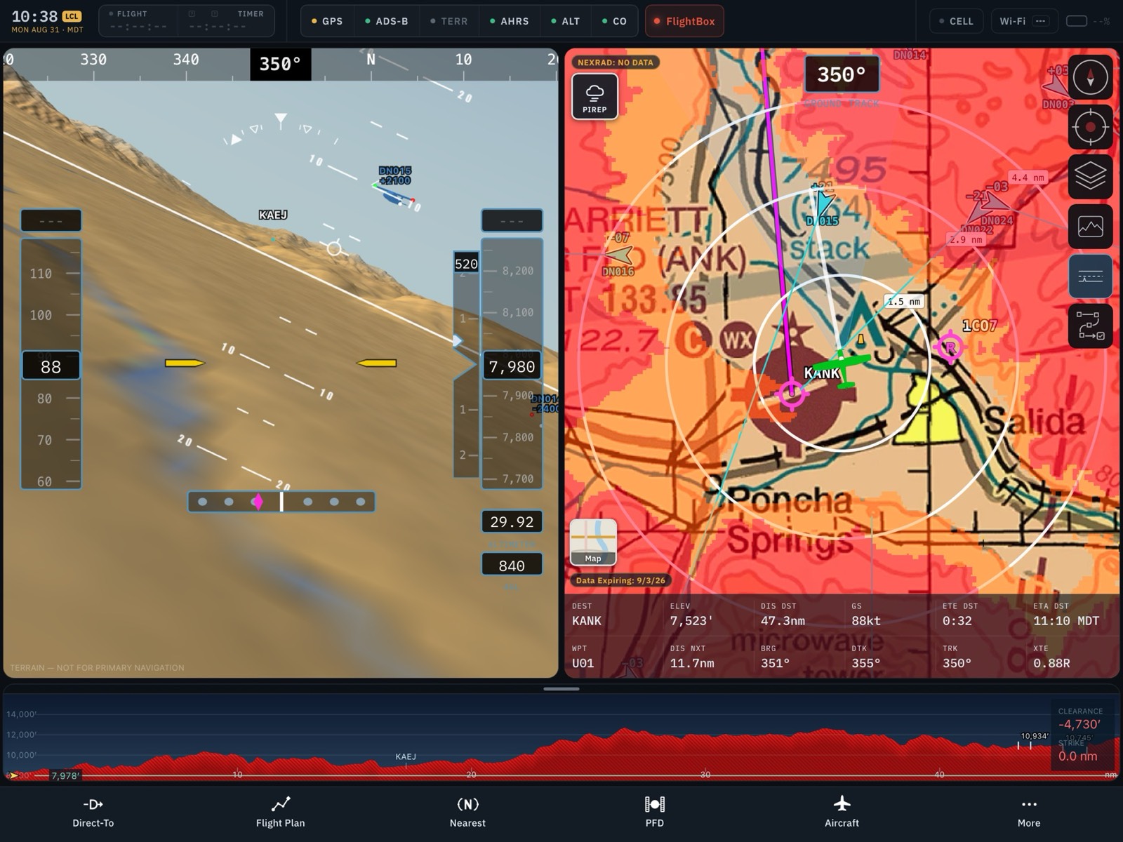
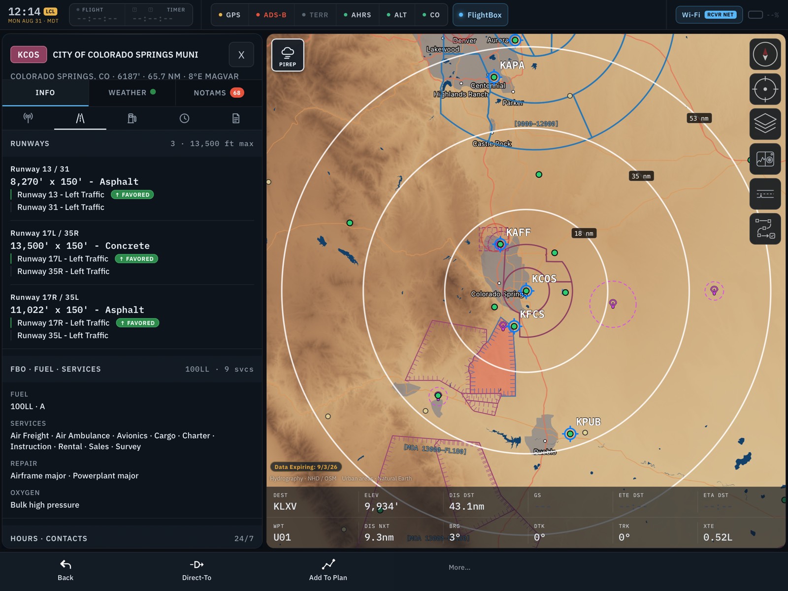
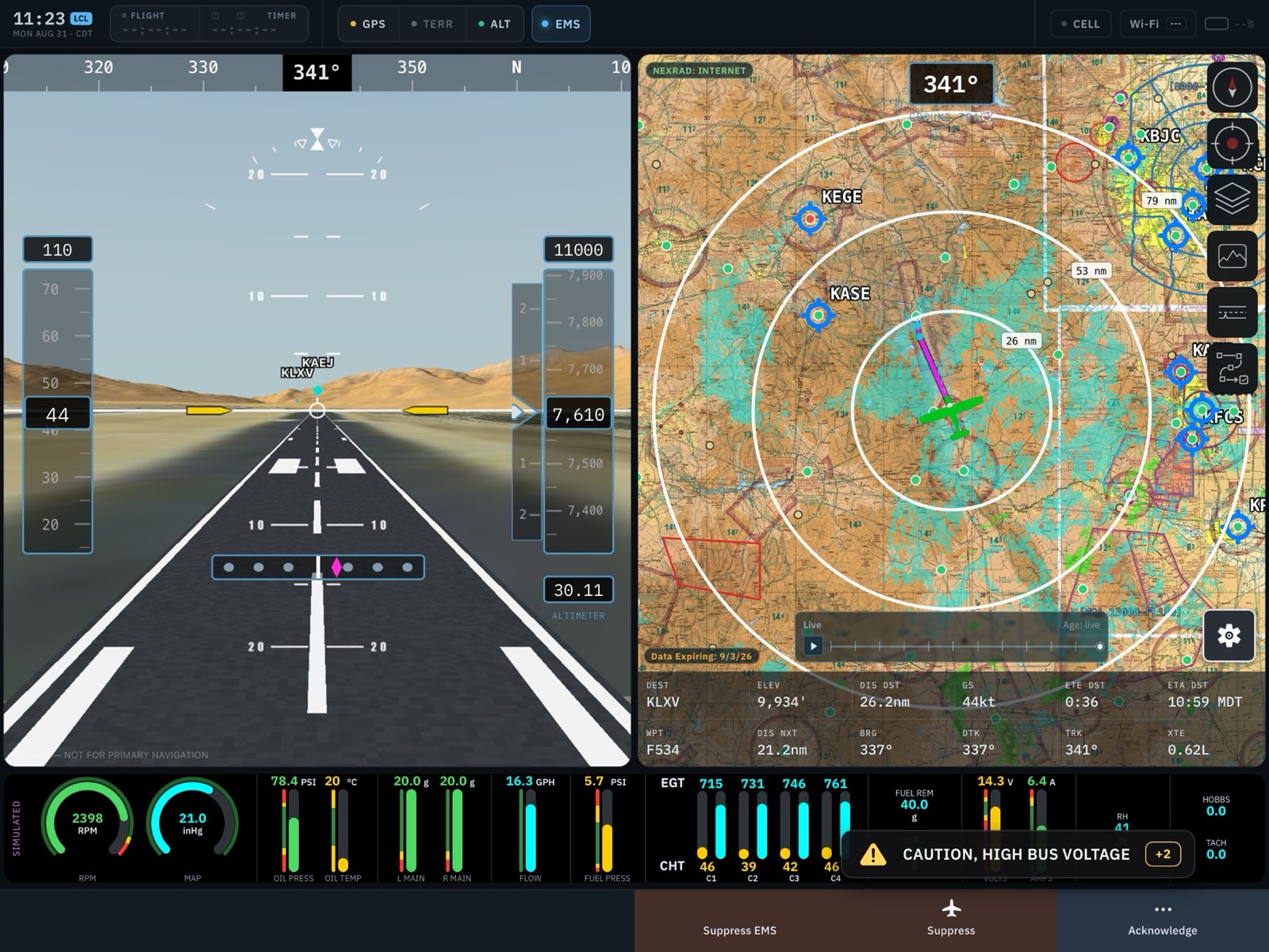
Falken EFB showing a VFR sectional with a planned route NEXRAD radar over the dark map Synthetic vision with terrain coloring and PFD Synthetic vision beside a terrain chart Synthetic vision on final approach Synthetic vision beside a terrain-alert map Airport information for Colorado Springs beside the terrain map Takeoff roll with EMS engine gauges

Get Started

01
Install TestFlight.
TestFlight is Apple's official app for beta software. Get it free from the App Store on the iPad or iPhone you fly with.
INSTALLED
02
Open the invitation.
On that device, open testflight.apple.com/join/bKFmxyHC (or scan the QR code above). TestFlight will open and offer you the Falken EFB beta. Tap Accept.
ACCEPTED
03
Install Falken EFB.
Tap Install. The app appears on your home screen like any other — the small orange dot next to its name just means it came from TestFlight. Install on up to two iPads and one iPhone.
COMPLETE
Note New beta builds arrive through TestFlight, usually every week or two. Turn on Automatic Updates in TestFlight so you always fly the latest build. Each build is valid for 90 days; we'll always ship a replacement well before then.

First Launch

01
Grant permissions.
On first launch, allow Location access (this drives the moving map and ownship position) and Local Network access (this lets the app find a FlightBox or other ADS-B receiver on your aircraft's Wi-Fi).
02
Download your charts and data.
Open the Downloads section, pick the region(s) you fly, and download charts, procedures, and terrain while you're on the ground with good Wi-Fi. Everything works offline after that — no cell signal needed in the air. Data follows the FAA's 28-day cycle and the app fetches updates automatically.
03
Set up your aircraft.
Create an aircraft profile — seeded from FAA type certificate data, with weight & balance that treats experimental and amateur-built aircraft as a first-class case, including variable-arm fuel tanks and one-off airframes.
04
Optional: connect your ADS-B receiver.
Join your FlightBox's Wi-Fi network (or any GDL 90-compatible receiver) and the app picks it up automatically — subscription-free weather and traffic in flight.

Want to see every screen before you install? Full first-launch walkthrough with annotated screenshots →
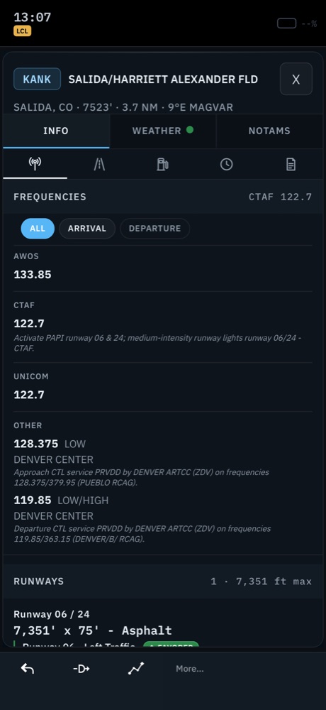
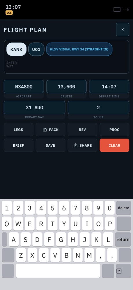
Airport information page with frequencies Flight plan editor

Map Controls

The column of buttons on the map edge is where new pilots get lost. Here's the whole set — these are the app's actual icons.


North-up mode
Track-up mode
North-Up / Track-Up Toggle.
Tap to switch between the classic north-up view and the track-up view.
Center locked
Center unlocked
Center / Lock.
Tap to center the map on your location, or to unlock the map and freely pan around.
Map layers
Map Layers.
Tap to open the map layer selector screen.
SynVis Toggle.
Tap to cycle between full-screen map, split map + SynVis, and full-screen SynVis. The button always shows the view a tap will switch to.
Profile Toggle.
Tap to show the course profile view. Requires a loaded course.
Procedures
Procedures Toggle.
Tap to open the procedures view. Requires a course with an airport destination.

Quickstart

Work the map. Flip between VFR sectionals, terminal area charts, and IFR low/high enroute charts. Layer on NEXRAD radar, terrain shading, or satellite imagery. Tap any airport for frequencies, weather, and approach plates. Toggle between north-up and track-up mode.
Navigate. Use Direct-To for the hundred-dollar hamburger, or build a route and drag legs to bend it around weather and airspace. Airspace shelves are drawn so you can see what you're actually underneath — with live hot/cold status on Special Use Airspace.
Brief the weather. METARs, TAFs, winds aloft, graphical forecasts, convective outlooks — plus NOTAMs translated out of the all-caps abbreviation soup, and TFRs with live stadium status.
Go three-dimensional. Open the synthetic vision view for terrain, obstacles, and traffic with a full PFD tape — and use the built-in flight pre-visualizer to fly your route from the couch before you fly it from the left seat.
Log a flight. Record your track, play it back in-app for debrief, share it, or export to CloudAhoy.

Feedback

Beta testing lives and dies on feedback. Two ways to reach us:

Found a bug? Use TestFlight feedback.

Open TestFlight, select Falken EFB, and tap Send Beta Feedback — you can attach screenshots, and your device details ride along automatically. If the app ever crashes, TestFlight will offer to send the crash report — please do, and add a line about what you were doing.

Have an idea? Email us.

Feature requests, questions, and anything that needs a conversation: [email protected]. We read everything, and beta testers steer the roadmap.

Join the Beta on TestFlight